
Figure 1 looking west (from 2000’) February 16,2010.

Figure 2 The two bridges over the MS river at Vicksburg, MS (looking southwest from 2000’)

Figure 3 I-20 interchanges (Halls Ferry Road exit) at Vicksburg, MS

Figure 4 Another, closer, view of the two MS river bridges and the Ameristar casino.

Figure 5 South end of Drummond St, Vicksburg HS stadium, city park.

Figure 6 3000 block of Drummond St., Markham St., Candy St., and 2nd St. in Vicksburg.

Figure 7 Another view of the two MS river bridges from 2000, this time looking southeast from the Louisiana side of the river. As seen from the exposed banks, the river is running relatively low on this day.

Figure 8 View of the Vicksburg riverfront/casino area looking northeast.

Figure 9 The town center, with Holy Trinity Episcopal, First Baptist, First Presbyterian, Crawford St. Methodist Church, in center of photograph.

Figure 10 3000 block of Drummond St. looking toward town, Mulvihill is in the lower right corner

Figure 11 Railroad switching yards at the riverfront area of the Yazoo Diversion canal.

Figure 12 Hotel Vicksburg, Old Court

Figure 13 Riverfront casino on Yazoo River diversion canal.

Figure 14 Site of new Corps of Engineers Historical Museum ( inside of dredge).

Figure 15 Illinois central depot, site of new museum. My grandfather, Wm. M. Calohan was the freight agent in charge there during the 1930s.

Figure 16 Port of Vicksburg, located north of town off of Highway 61.

Figure 17 Some further areas of the Port have been developed in the last 20 years.

Figure 18 Crawford St., Clay St., City hall, St. Paul’s Catholic Church. Trustmark bank. Aeolian apartments, Southern Cultural Heritage Complex.

Figure 19 Cherry St. railroad overpass, site of old passenger train station in the 1950s.

Figure 20 All Saints Episcopal School complex on south Confederate Ave.. presently leased by Americorps.

Figure 21 Temple High School located off of Mission 66.

Figure 22 Sky Farm city cemetery, harbor project in top of picture.

Figure 23 The Anderson-Tully lumber mills, north of town.

Figure 24 River Region Medical Center, located on the Interstate 20 to HWY 61N city bypass route toward Redwood, MS.

Figure 25 Big Black river bridge located on the Warren/Hinds co line as Interstate 20 goes over the river east of town.
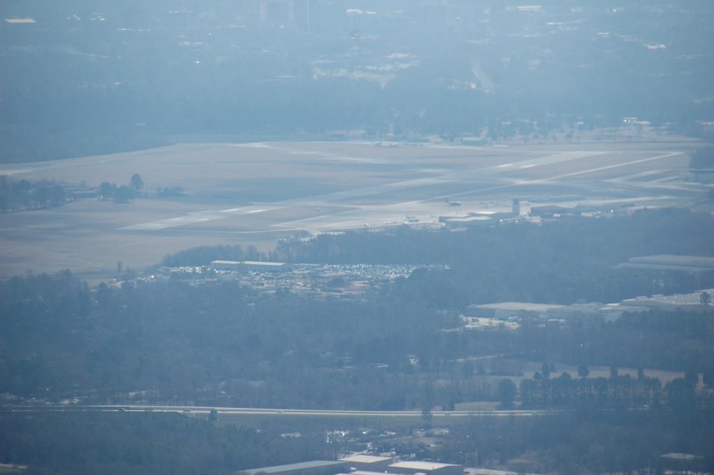
Figure 26 The Hawkins Field, Jackson airport, home base of Cessna 5009H and the crosswinds flying club. There are two runways for north south and east west landings: with magnetic headings of 16/34 degrees and 9/27 degrees. FAA control tower is in the center right of the picture. Jackson 220 bypass is in the lower part of the photograph.

Figure 29 Illinois monument, Vicksburg National Military Park

Figure 30 I-20 Interstate corridor that runs eastward
Toward Jackson MS after crossing MS river bridge at
Vicksburg (Indiana Ave. exit is in top left of photo).
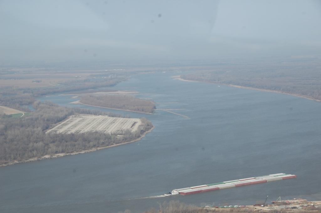
Figure 31 View North up river from 1500’ flying over
Vicksburg. Normally, there is quite a lot of barge traffic
Flowing on the river.

Figure 32 Vicksburg Country Club from 1500’, looking northward

Figure 33 Back nine fairways 16, 13, 12 at VCC

Figure 34 New outlet mall and cracker barrel restaurant
Located off the main Clay St. exit from I-20, and Hwy 80.

Figure 35 Vicksburg Clear Creak public golf course, located
off the i-20 interstate at the Bovina exit.

No comments:
Post a Comment